
Geographic Information Systems (GIS) is a powerful technology used to collect, store, analyze, manage, and display data that is linked to specific locations on the Earth's surface. By combining maps with data, GIS enables individuals, businesses, and governments to better understand geographic patterns, relationships, and trends. It transforms raw location-based information into meaningful insights that support informed decision-making across a wide range of industries.
At its core, GIS integrates spatial data (where something is located) with attribute data (information about that location). For example, a GIS map can show the location of roads, rivers, buildings, and land parcels while also displaying details such as ownership, land use, population, or environmental conditions. This combination of mapping and data analysis makes GIS an essential tool for planning, monitoring, and managing resources efficiently.
GIS is widely used in sectors such as urban planning, agriculture, environmental management, transportation, telecommunications, disaster management, and public health. Governments rely on GIS to plan cities, maintain infrastructure, and manage land records. Construction companies use GIS to select suitable project sites and monitor development progress, while farmers use it to improve crop production through precision agriculture.
One of the greatest advantages of GIS is its ability to visualize complex information in an easy-to-understand format. Instead of reviewing large spreadsheets or written reports, users can view interactive maps that clearly highlight patterns, trends, and potential challenges. This visual approach helps organizations make faster and more accurate decisions.
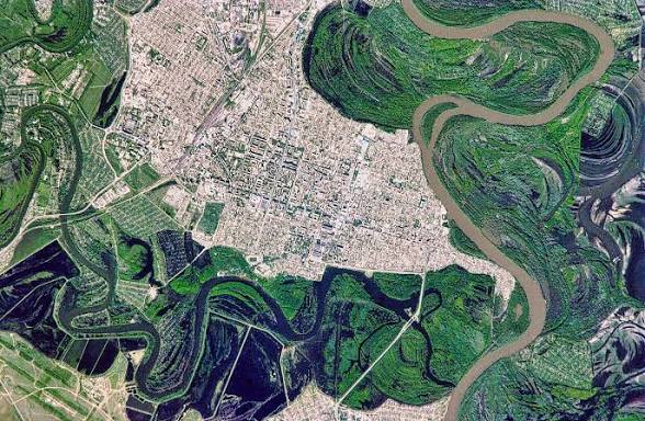
Modern GIS has become even more powerful with the integration of technologies such as drones, satellite imagery, GPS, cloud computing, and artificial intelligence. These innovations allow surveyors and geospatial professionals to capture highly accurate data, create detailed digital maps, and monitor changes in real time.
For businesses and organizations, GIS improves operational efficiency by reducing costs, minimizing risks, and supporting better planning. Whether identifying the best location for a new development, assessing environmental impacts, or managing public utilities, GIS provides reliable geographic intelligence that leads to smarter outcomes.
As technology continues to evolve, Geographic Information Systems will play an increasingly important role in shaping sustainable development, infrastructure planning, environmental conservation, and smart cities. Investing in professional GIS services ensures accurate data collection, effective analysis, and dependable solutions for projects of every scale.

Comments (0)